Browse all webshop titles

Or search for something specific
Bonne, [Rigobert].
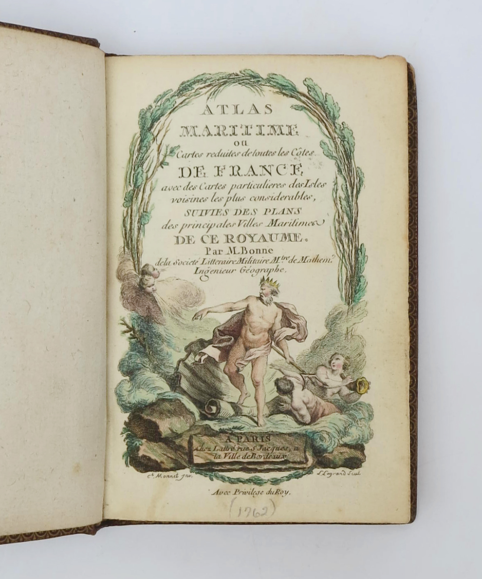
Atlas Maritime ou cartes reduites de toutes les côtes de France, avec des cartes particulieres des Isles voisines les plus considérables, suivies des Plans des principales Villes Maritimes de ce Royaume.
Publisher: Chez Lattré rue S Jacques, a la Ville de Bordeaux, Paris;
Date of Publication: 1762
Stock Code: 15392
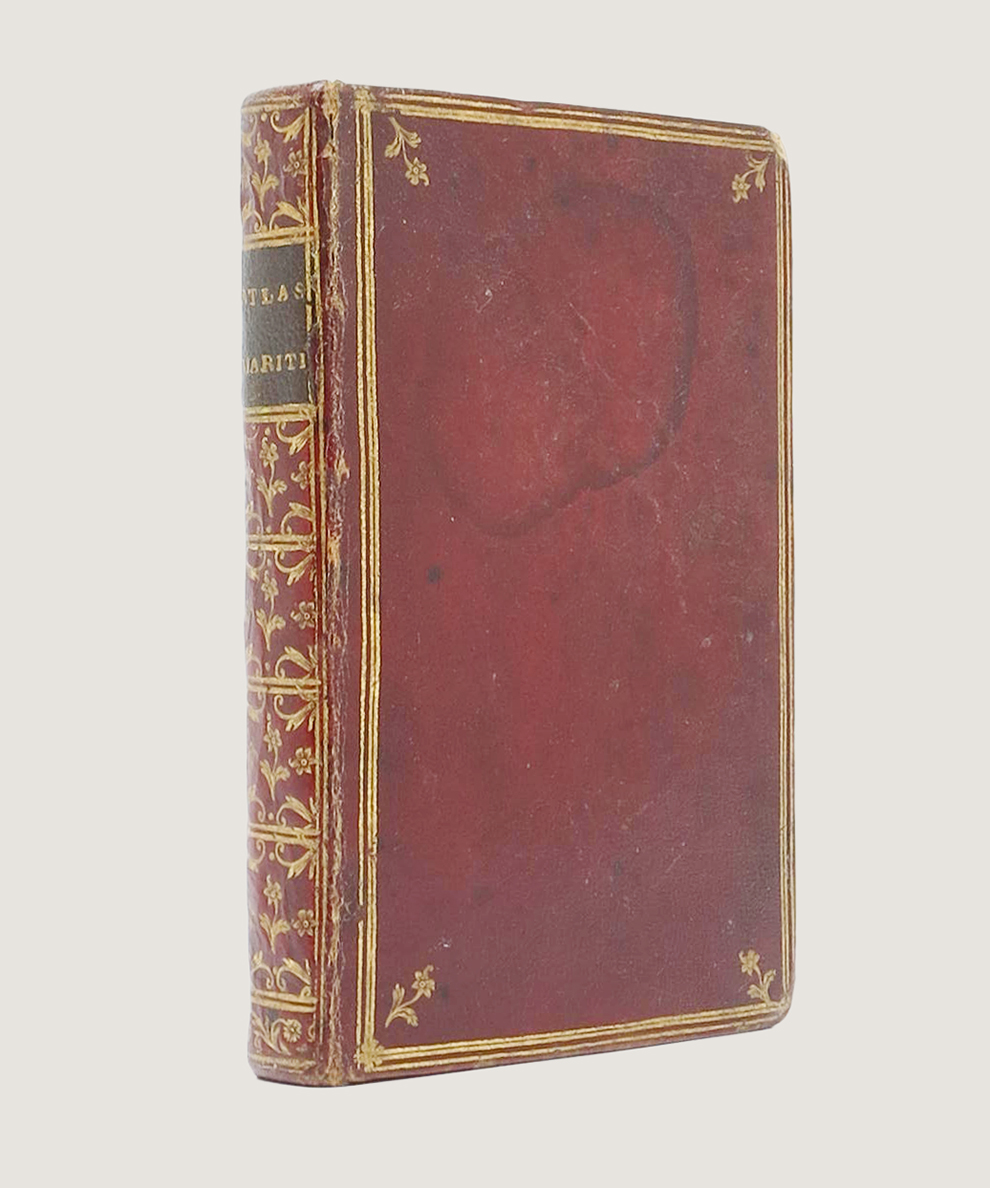
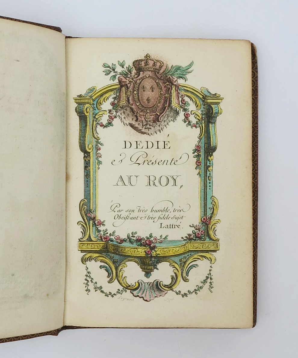
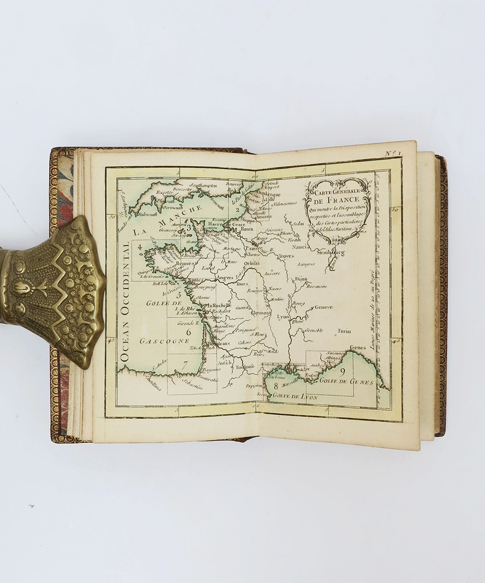
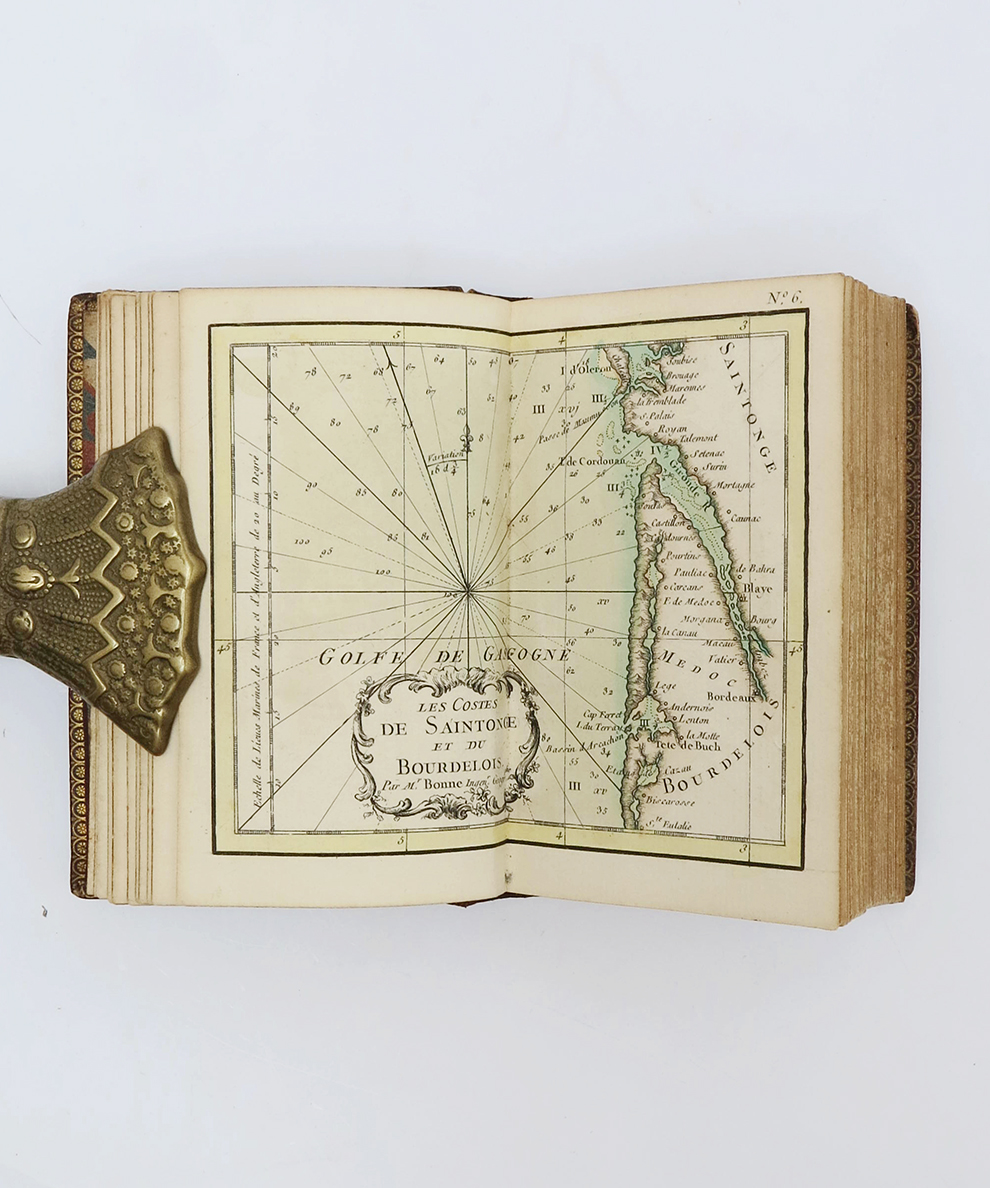
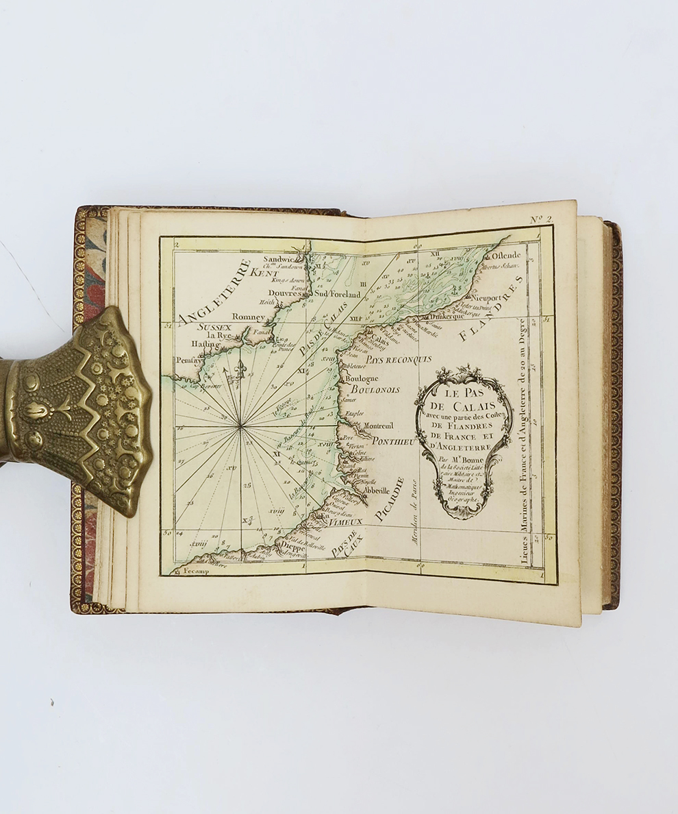
Duodecimo, pp., [4], 31-46, 8 of publisher’s catalogue. Complete with hand-coloured etched and engraved title-page and dedication and 30 double-page hand-coloured maps and plans. Contemporary scarlet morocco; titled in gilt to black morocco spine label; heavily floral gilt to spine; French fillets and fleurons to boards; all edges gilt; gilt dentelles; marbled end-papers. Corners rubbed; upper joint a little worn and upper hinge cracked but spine holding well. Internally bright. A very attractive and well=preserved copy in a contemporary binding.
A pocket atlas of detailed, accurate, and attractive maps of France’s coast, with particular focus on the fortifications and resources of the nation’s coastal cities. Rigobert Bonne (1727-94) made his name by working on high-quality navigational charts. This volume modified and popularised what would become known as the Bonne Projection, which projects the globe in the shape of a heart and therefore makes landmasses appear more proportional (Ravenhill, 27). The book, as well as other maps, earned Bonne such esteem that in 1773, he was made Royal Cartographer. An attractive copy in a contemporary binding.
£2250.00




Atlas Maritime ou cartes reduites de toutes les côtes de France, avec des cartes particulieres des Isles voisines les plus considérables, suivies des Plans des principales Villes Maritimes de ce Royaume.
Date of Publication: 1762
Stock Code: 15392
Free postage to any UK address, and
free postage on overseas orders over £150.
Overseas orders below £150, £14.95 worldwide.
Find out more about international shipping including heavy items & customs & taxes.
All items are guaranteed to be as described & are fully insured in transit. See our returns policy & find out about the bookselling terms we use.