Browse Categories > Cartography +
Sort by: Most Recent +
Results: 1 - 12 (of 23)
Items per Page: 12 +
![Plan of the Town & County of Newcastle upon Tyne and the Borough of Gateshead with their respective suburbs. [“The Finest Engraved Map of Newcastle Ever Printed”]. Oliver, Thomas. Plan of the Town & County of Newcastle upon Tyne and the Borough of Gateshead with their respective suburbs. [“The Finest Engraved Map of Newcastle Ever Printed”]. Oliver, Thomas.](/assets/media/designs/uploads/products/image/495x594/x14477-4.JPG.pagespeed.ic.Ea9F5cQ0ek.jpg)

View Item
Plan of the Town & County of Newcastle upon Tyne and the Borough of Gateshead with ...
Publisher: Thomas Oliver, Newcastle upon Tyne;
Date of publication: 1831
£1500.00
Portrait map approximately 52” x 40”, engraved by W. Lizars of Edinburgh, dissected and laid onto linen, edged in green. Scale: 3 chains to an inch. Housed in a brown calf book-style slipscase, titled in ...
Read more

View Item
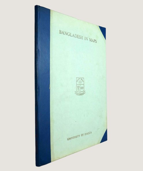
Bangladesh In Maps.
Publisher: University of Dacca, Dacca, Bangladesh;
Date of publication: 1981
£75.00
First edition. Folio, pp. 77, [1]. 114 maps, many full-page and most in colour. Blue half faux leather with gilt titles to spine, and grey paper-covered boards with gilt titles and crest to upper board ...
Read more

View Item
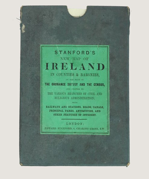
Stanford's New Map of Ireland in Counties & Baronies, on the basis of the Ordnance ...
Publisher: Edward Stanford, London;
Date of publication: 1865
£250.00
Map approximately 97 cm x 79 cm, dissected into 30 sections, hand-coloured, mounted onto linen and folded into blue cloth-covered slipcase with printed green paper title onlay. Printed advertisement sheets to both outer faces when ...
Read more

View Item
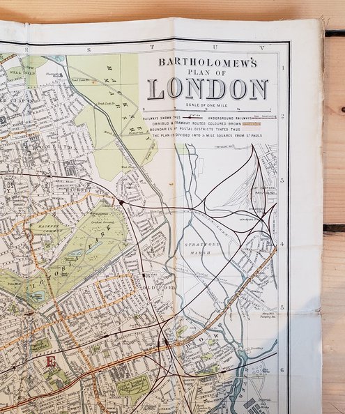
The Survey Plan & Guide to London: With Index to Streets.
Publisher: John Bartholomew & Co., Edinburgh;
Date of publication: 1910
£45.00
Map 84cm x 59.5cm single sheet printed on paper, mounted on linen and folded into 36 sections, in printed maroon card wraps with pp. 44 “Visitor’s Guide to London” and street index. Printed ...
Read more
![Station Map of the Railways in Great Britain. Macaulay, Z[achary]. Station Map of the Railways in Great Britain. Macaulay, Z[achary].](/assets/media/designs/uploads/products/image/495x594/x12132.jpg.pagespeed.ic.p9Gzonng8P.jpg)

View Item
Station Map of the Railways in Great Britain.
Publisher: Smith & Ebbs, London;
Date of publication: 1867
£280.00
Map approximately 144 cm x 93 cm, divided into 35 sections, backed onto linen and folded into covers. Scale of 10 miles to an inch. Sympathetically rebacked in black cloth, retaining original boards with blind-stamped ...
Read more

View Item
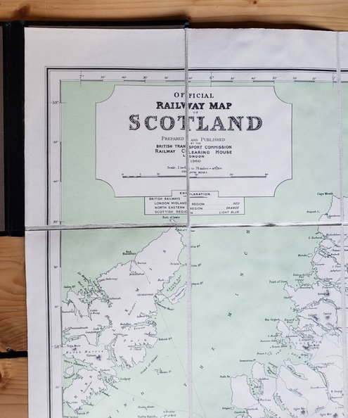
Official Railway Map of Scotland
Publisher: Railway Clearing House, London;
Date of publication: 1960
£100.00
Map approximately 116 cm x 76 cm, divided into 30 sections, backed onto linen and folded into black cloth covers with gilt titles to spine and upper board, and border in blind to boards. Rail ...
Read more
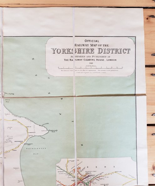

View Item
Official Railway Map of Yorkshire District North Sheet
Publisher: Railway Clearing House, London;
Date of publication: 1921
£75.00
Map approximately 107 cm x 67 cm, divided into 28 sections, backed onto linen and folded into black cloth covers with gilt titles to spine and upper board, and border in blind to boards. Rail ...
Read more
![Map of the County of Northumberland including the Town and County of Newcastle upon Tyne, The Town and Bounds of Berwick upon Tweed and Those Parts of the County of Durham Situate to the North of the River Tyne from an Actual Survey Finished in 1820 [with] An Alphabetical Index to John Fryer and Sons’ Map of the County of Northumberland... Fryer, John. Map of the County of Northumberland including the Town and County of Newcastle upon Tyne, The Town and Bounds of Berwick upon Tweed and Those Parts of the County of Durham Situate to the North of the River Tyne from an Actual Survey Finished in 1820 [with] An Alphabetical Index to John Fryer and Sons’ Map of the County of Northumberland... Fryer, John.](/assets/media/designs/uploads/products/image/495x594/x11988.jpg.pagespeed.ic.l1JelTDJgL.jpg)

View Item
Map of the County of Northumberland including the Town and County of Newcastle upon Tyne ...
Publisher: John Fryer and Sons, Newcastle;
Date of publication: 1820
£1250.00
First Edition. Map engraved by M. Lambert of Newcastle, approximately 189 cm x 78 cm, dissected into 36 sections and mounted onto linen in three separate sheets, each sheet comprising 12 sections and measuring approximately ...
Read more
![Plan of the Borough of Newcastle comprising the Town and County of Newcastle upon Tyne and Part of the County of Northumberland Together with Gateshead from an Actual Survey by Thomas Oliver, 1844 [with] Reference to a Plan of the Borough of Newcastle upon Tyne and Part of the Borough of Gateshead and Grounds Adjoining. Oliver, Thomas. Plan of the Borough of Newcastle comprising the Town and County of Newcastle upon Tyne and Part of the County of Northumberland Together with Gateshead from an Actual Survey by Thomas Oliver, 1844 [with] Reference to a Plan of the Borough of Newcastle upon Tyne and Part of the Borough of Gateshead and Grounds Adjoining. Oliver, Thomas.](/assets/media/designs/uploads/products/image/495x594/x11939.jpg.pagespeed.ic.RCUVYFy2lv.jpg)

View Item
Plan of the Borough of Newcastle comprising the Town and County of Newcastle upon Tyne ...
Publisher: Thomas Oliver, Newcastle upon Tyne;
Date of publication: 1844
£1250.00
Large, hand-coloured, landscape map approx. 119 cm x 89 cm, engraved by W. H. Lizars of Edinburgh, dissected into 32 parts, laid onto linen, and folded into green leather boards decorated in blind. The area ...
Read more
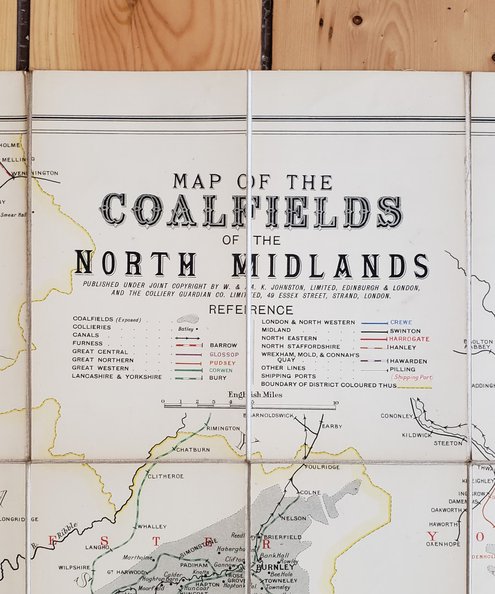

View Item
Map of the Coalfields of the North Midlands.
Publisher: W & A. K. Johnston, Edinburgh & London;
Date of publication: 1900
£125.00
Map dimensions 90 cm x 79.5 cm, dissected into 32 sections, mounted onto linen and folded into maroon pebbled cloth case with gilt titles to upper board. With publishers’ ads to front paste-down and ...
Read more
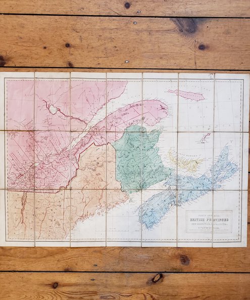

View Item
North America. British Province of New Brunswick, Nova Scotia & Part of Canada (Nelson's New ...
Publisher: V. H. Nelson, London;
Date of publication: 1840
£280.00
Undated. Map with Provinces marked in colour, approximately 68 cm x 48 cm, dissected into 21 parts, mounted on linen and folded into covers. Binding full black calf, heavily decorated in blind with gilt titles ...
Read more
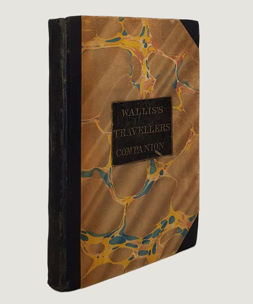

View Item
Wallis's New Pocket Edition of the English Counties or Travellers Companion in which are ...
Publisher: J. Wallis, London;
Date of publication: 1810
£375.00
12 mo (approx 14.5 x 10 cm), pp. [4] comprising title-page and contents, followed by 43 hand-coloured maps as called for, of which one double-page (Yorkshire) plus the additional Isle of Wight map (not ...
Read more
Results: 1 - 12 (of 23)

Back to top

