Browse Webshop > Map
Sort by: Most Recent +
Results: 13 - 18 (of 18)
Items per Page: 12 +
![United States and Cuba [Folding Map]. Philip, George. United States and Cuba [Folding Map]. Philip, George.](/assets/media/designs/uploads/products/image/495x594/x7461.jpg.pagespeed.ic.e3sjZ3oSIR.jpg)

View Item
United States and Cuba [Folding Map].
Publisher: George Philip & Son Ltd, London;
Date of publication: 1930
£45.00
No stated publication date, circa 1930. Map approx 54 cm x 63 cm, backed onto linen and folded into 21 sections (not dissected) in green cloth covers with black titles. States delineated in colour; scale ...
Read more


View Item
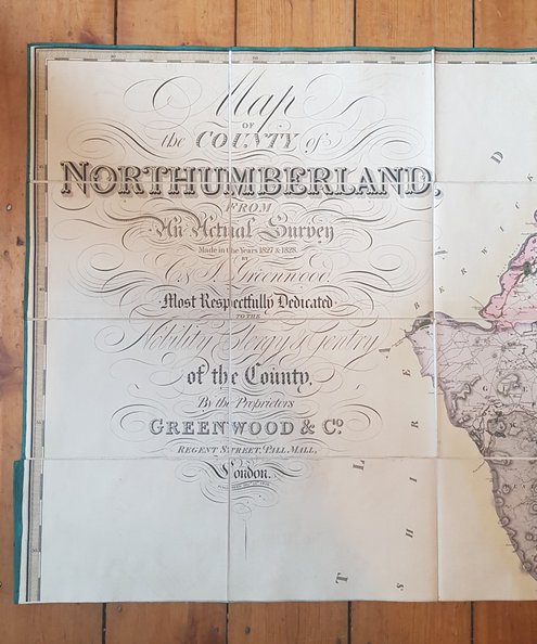
“A magnificent map”. Map of the County of Northumberland from An Actual Survey Made in ...
Publisher: Greenwood & Co, London;
Date of publication: 1828
£1350.00
FIRST EDITION. Hand-coloured map approximately 190 cm x 144, dissected into 72 sections, laid onto linen with green border to edges, and folded down into marbled paper covers approx 25 cm x 16. Titles to ...
Read more
![Western Division of Paris Containing the Quartiers [with] Eastern Division of Paris Containing the Quartiers [2 joined plans]. Clark, W. B. [drawn by]. Western Division of Paris Containing the Quartiers [with] Eastern Division of Paris Containing the Quartiers [2 joined plans]. Clark, W. B. [drawn by].](/assets/media/designs/uploads/products/image/495x594/6706.JPG)

View Item
Western Division of Paris Containing the Quartiers [with] Eastern Division of Paris Containing the Quartiers ...
Publisher: Baldwin and Cradock for the Society for the Diffusion of Useful Knowledge, London;
Date of publication: 1834
£150.00
Approx 82 cm x 60 cm, two sheets skilfully joined at centre and secured to reverse with thick paper joining strip. Drawn by W B Clarke and engraved by J Shury. Coverage from Champ de ...
Read more
![Rare Map of South Wales. A New and Accurate Map of South Wales. Bowen, Eman[uel]. Rare Map of South Wales. A New and Accurate Map of South Wales. Bowen, Eman[uel].](/assets/media/designs/uploads/products/image/495x594/6677.JPG)

View Item
Rare Map of South Wales. A New and Accurate Map of South Wales.
Publisher: Printed for Carinton Bowles and Robt Sayer, London;
Date of publication: 1760
£3000.00
Second Edition, n.d. but circa 1760. Map approx 158 cm x 113 cm, dissected into 32 parts and mounted onto linen. Uncoloured. Large title cartouche to upper left corner with allegorical figures and putti ...
Read more


View Item
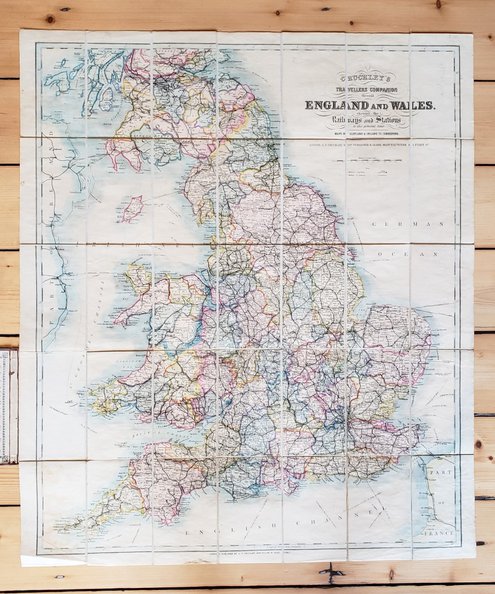
Cruchley's Travellers Companion through England and Wales shewing the Railways and Stations to the ...
Publisher: G F Cruchley, London;
Date of publication: 1860
£100.00
Undated circa 1860. Map 31”x27” folding to approx 7”x4”. Scale of 15 miles to an inch with St Andrews to the Northerly edge. Beautiful hand-coloured map of the English railway network in compartments ...
Read more


View Item
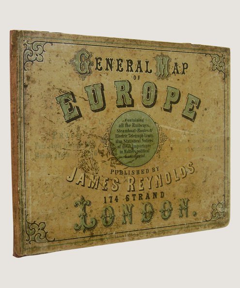
General Map of Europe.
Publisher: James Reynolds, London;
Date of publication: 1855
£450.00
[1855]. Map of Europe, 46 x 37 inches approx, drawn by E Ravenstein with borders hand-coloured in outline; dissected and mounted onto linen. Housed in quarter maroon cloth, recased using original publisher's decorative paper-covered ...
Read more
Results: 13 - 18 (of 18)

Back to top

