
Browse all webshop titles

Or search for something specific
Johnston, W. & A.K.
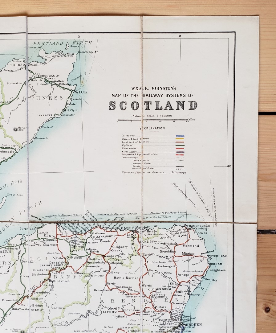
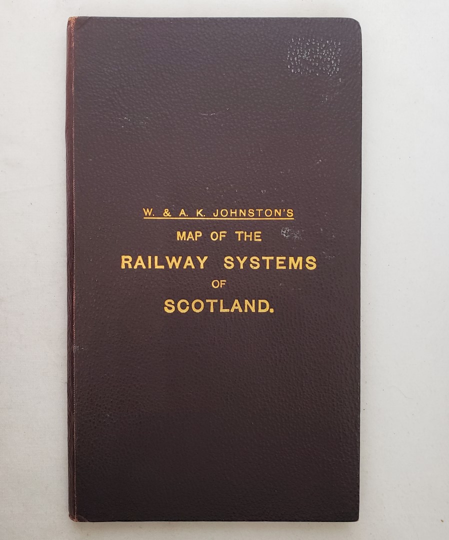
Map of the Railway Systems of Scotland
Publisher: W. & A. K. Johnston, Edinburgh & London;
Date of Publication: 1950
Stock Code: 12131
Map approximately 88 cm x 74 cm, divided into 24 sections, backed onto linen and folded into pebbled maroon cloth covers with gilt titles to upper board and green patterned endpapers. Rail routes marked in colour to differentiate individual companies. Map bright, with just few minor marks to reverse. A very good copy. A touch of surface loss to lower board at fore-edge and wear to spine tips and corners.
An attractive pre-Nationalisation map of the rail routes throughout Scotland.
£50.00


Map of the Railway Systems of Scotland
Date of Publication: 1950
Stock Code: 12131
Free postage to any UK address, and
free postage on overseas orders over £150.
Overseas orders below £150 –
Europe £7.95 / USA £14.95 / Rest Of World £11.95
Find out more about international shipping including heavy items & customs & taxes.
All items are guaranteed to be as described & are fully insured in transit. See our returns policy & find out about the bookselling terms we use.

See all items by: Johnston, W. & A.K.