Macaulay, Z[achary].
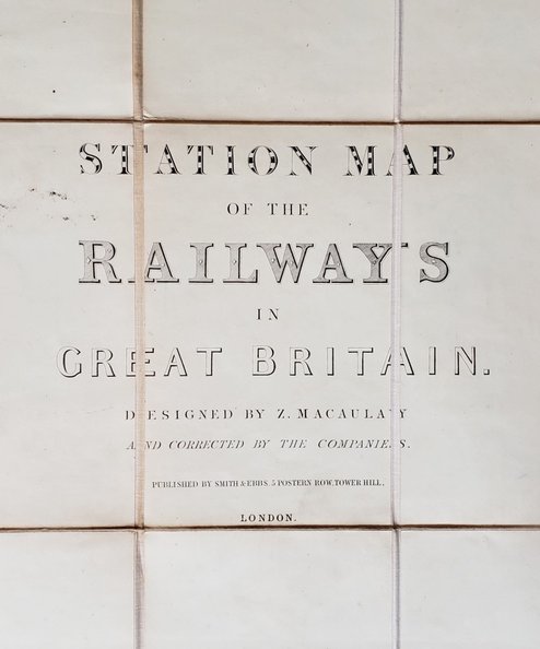
Station Map of the Railways in Great Britain.
Publisher: Smith & Ebbs, London;
Date of Publication: 1867
Stock Code: 12132
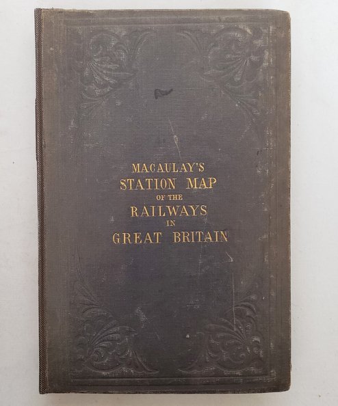
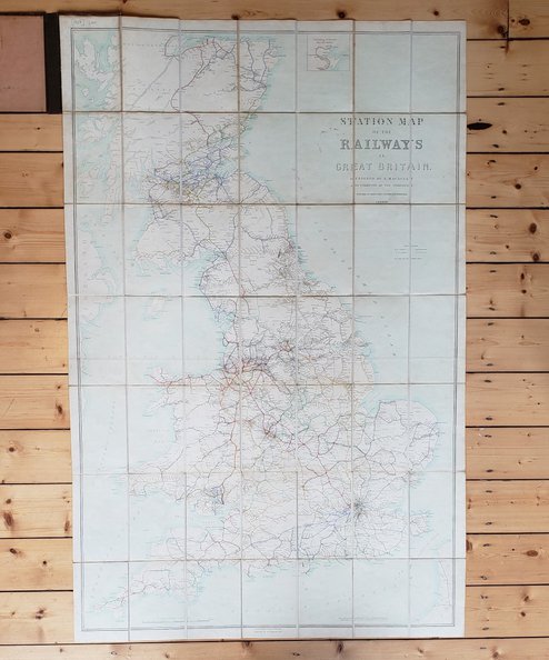
Map approximately 144 cm x 93 cm, divided into 35 sections, backed onto linen and folded into covers. Scale of 10 miles to an inch. Sympathetically rebacked in black cloth, retaining original boards with blind-stamped foliate decoration, and gilt titles to upper board. Boards scuffed with bruised edge and minor wear to corners. Library stamp to lightly soiled front endpapers and ownership inscription dated 1972 in ink; light soiling to linen backing with a few small ink-spots and a little scattered foxing. Ink mark to map just west of Gateshead. A very good copy.
Much of the network was in place at publication and this map shows the routes owned by the various companies in different colours, with projected routes marked in dashes. Scarce.
£280.00
Add to BasketContinue Shopping
Station Map of the Railways in Great Britain.
Date of Publication: 1867
Stock Code: 12132
Free postage to any UK address, and
free postage on overseas orders over £150.
Overseas orders below £150 –
Europe £7.95 / USA £14.95 / Rest Of World £11.95
Find out more about international shipping including heavy items & customs & taxes.
All items are guaranteed to be as described & are fully insured in transit. See our returns policy & find out about the bookselling terms we use.


