Browse all webshop titles

Or search for something specific
Stanford, Edward.
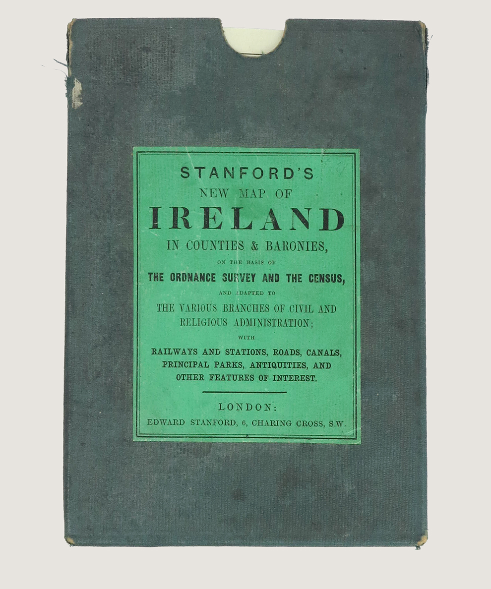
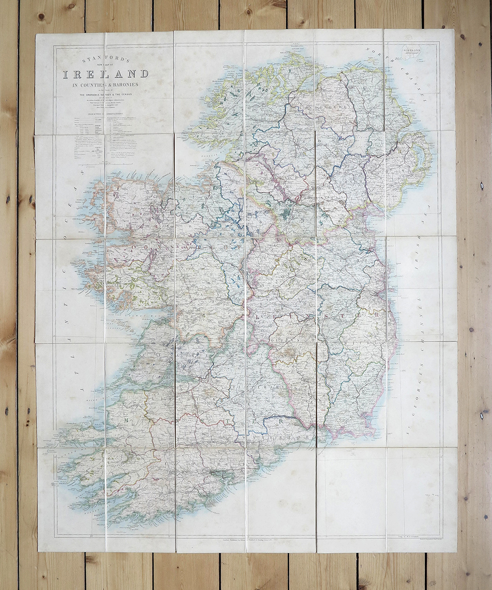
Stanford's New Map of Ireland in Counties & Baronies, on the basis of the Ordnance Survey and the Census, and Adapted to the Various Branches of Civil and Religious Administration...
Publisher: Edward Stanford, London;
Date of Publication: 1865
Stock Code: 12442
Map approximately 97 cm x 79 cm, dissected into 30 sections, hand-coloured, mounted onto linen and folded into blue cloth-covered slipcase with printed green paper title onlay. Printed advertisement sheets to both outer faces when folded. Lightly foxed, with pictorial bookplate to reverse. Slipcase lightly stained, with small pale mark to upper face and 2.5 cm split at opening and light wear to edges.
Detailed map by the pre-eminent London map publishers, with boundaries shown in colour, and railways, roads, canals, antiquities and features of interest marked.
£250.00


Stanford's New Map of Ireland in Counties & Baronies, on the basis of the Ordnance Survey and the Census, and Adapted to the Various Branches of Civil and Religious Administration...
Date of Publication: 1865
Stock Code: 12442
Free postage to any UK address, and
free postage on overseas orders over £150.
Overseas orders below £150 –
Europe £7.95 / USA £14.95 / Rest Of World £11.95
Find out more about international shipping including heavy items & customs & taxes.
All items are guaranteed to be as described & are fully insured in transit. See our returns policy & find out about the bookselling terms we use.