Greenwood, C. & J.
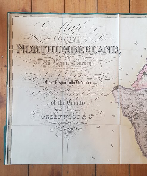
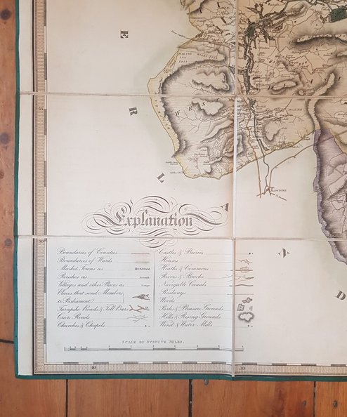
“A magnificent map”. Map of the County of Northumberland from An Actual Survey Made in the Years 1827 & 1828.
Publisher: Greenwood & Co, London;
Date of Publication: 1828
Stock Code: 6721
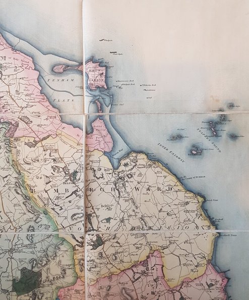
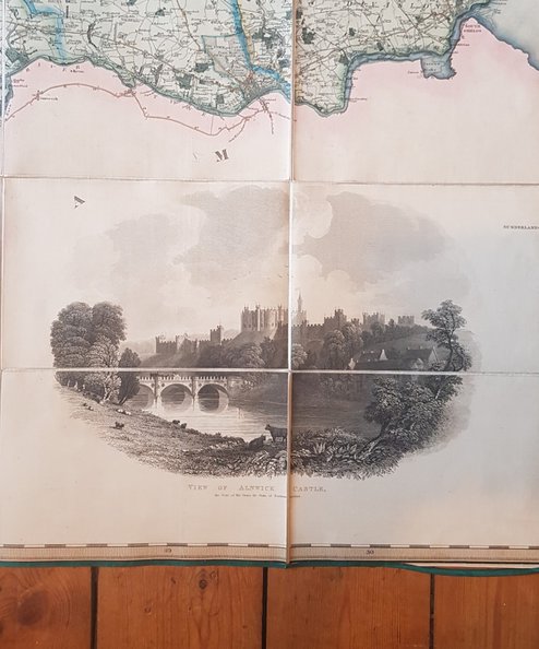
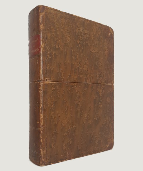
FIRST EDITION. Hand-coloured map approximately 190 cm x 144, dissected into 72 sections, laid onto linen with green border to edges, and folded down into marbled paper covers approx 25 cm x 16. Titles to upper left corner, Star Compass Indicator to top right, Explanatory key and scale to lower left corner and vignette view of Alnwick Castle exterior to lower right corner, with original hand-colouring. Housed in bespoke two-part lined case in the design of a book, in full tree-calf with red calf label with gilt titles to spine and gilt ruling; all edges marbled. Scale: 1 inch to 1 Mile. Linen lightly toned and fabric edging a little rubbed at lower right corner otherwise a Fine copy. Case lightly scuffed with wear to corners and small mark to inner fitment where label has been removed.
Detailed county map with distances in miles indicated along main roads, and major routes carried over county boundary with destinations given. It shows wards, towns, villages, hamlets, parishes, churches & chapels, castles, priories, houses, parks, woods and plantations, waste land, main roads, coal pits, mineral lines and rivers. Whitaker states that it is “A magnificent map” which though considerably earlier than the One-Inch OS maps for Northumberland, closely resembles them in style and execution. An excellent example of this important cartographical work, housed in an attractive case.
£1350.00
Add to BasketContinue Shopping
“A magnificent map”. Map of the County of Northumberland from An Actual Survey Made in the Years 1827 & 1828.
Date of Publication: 1828
Stock Code: 6721
Free postage to any UK address, and
free postage on overseas orders over £150.
Overseas orders below £150 –
Europe £7.95 / USA £14.95 / Rest Of World £11.95
Find out more about international shipping including heavy items & customs & taxes.
All items are guaranteed to be as described & are fully insured in transit. See our returns policy & find out about the bookselling terms we use.


