Cary, [John].
Cary's New and Correct English Atlas.
Publisher: John Cary, London;
Date of Publication: 1793
Stock Code: 7760
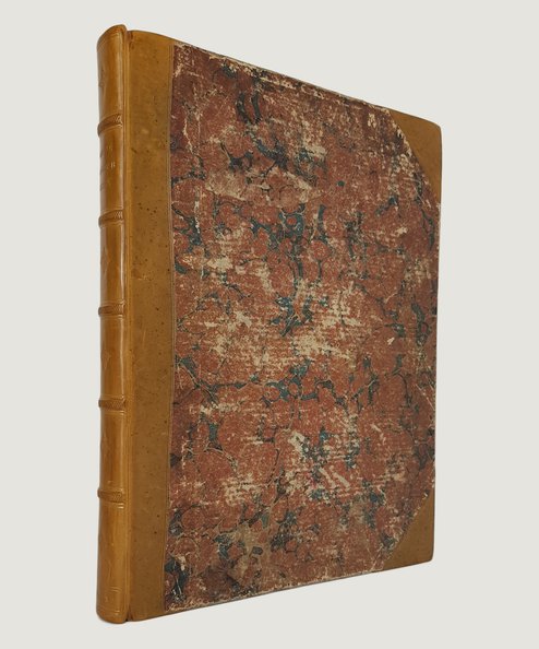
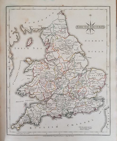
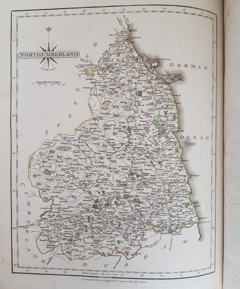
[SECOND EDITION]. Large quarto; pp [4], Maps, 14 Directions, 11 Market Towns and Post Towns etc), [1]. General Map of Southern Britain and 46 tissue-guarded county maps as called for, all attractively hand-coloured in outline (the West Riding map of Yorkshire covering 2 leaves) with facing leaf of accompanying text. Recent polished brown half -calf, with 5 raised bands, gilt titles to spine and decoration in blind to compartments, over original marbled paper-covered boards. Boards lightly surface scuffed. Bookplate to front paste-down; light foxing, slightly heavier to tissue guards; no annotation or inscriptions. Text for Lancashire printed twice & Cambridgeshire text absent. A very good copy in an attractive binding.
A generous wide-margined copy of the 1793 edition of Cary’s County Atlas. John Cary (circa 1754-1835), the foremost cartographer of roads in England and Wales of his time, was commissioned by the Postmaster General in 1794 to survey the country’s roads as his New Itinerary was then the standard work on the subject. The reference section to the rear of the volume gives the directions at road junctions throughout the counties, as well as market and borough towns with their distances from London,and a list of principal Post and sub-Post towns.
£600.00
Add to BasketContinue Shopping
Cary's New and Correct English Atlas.
Date of Publication: 1793
Stock Code: 7760
Free postage to any UK address, and
free postage on overseas orders over £150.
Overseas orders below £150 –
Europe £7.95 / USA £14.95 / Rest Of World £11.95
Find out more about international shipping including heavy items & customs & taxes.
All items are guaranteed to be as described & are fully insured in transit. See our returns policy & find out about the bookselling terms we use.


