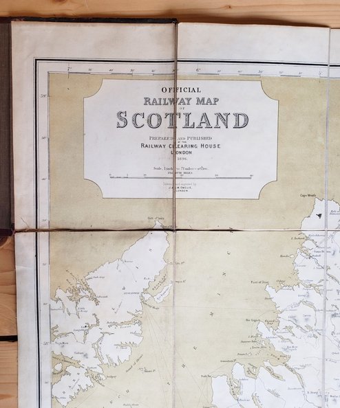
Official Railway Map of Scotland
Publisher: Railway Clearing House, London;
Date of Publication: 1896
Stock Code: 12129
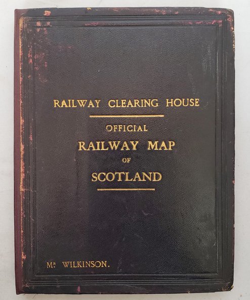
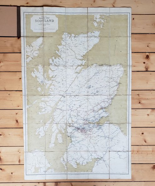
Map approximately 117.5 cm x 75 cm, divided into 30 sections, backed onto linen and folded into black cloth covers with gilt titles to spine and upper board, and border in blind to boards. Sympathetically rebacked using maroon cloth to spine and retaining original boards. Rail routes and major watercourses delineated in colour. Map very good, but with splits to linen at edge of two sections and ink spots to reverse of single section- map unaffected. Boards scuffed with wear to corners.
Scarce- not in Thorndyke. The Railway Clearing House was originally set up to manage revenue from the various railway companies for journeys of goods and customers using lines belonging to multiple companies, and went on to recommend the use of GMT throughout the UK and to set technical standards for wagons, cables and junctions. From 1859 the RCH issued what is widely regarded as the best series of railway maps ever produced in the United Kingdom.
£150.00
Add to BasketContinue Shopping
Date of Publication: 1896
Stock Code: 12129
Free postage to any UK address, and
free postage on overseas orders over £150.
Overseas orders below £150 –
Europe £7.95 / USA £14.95 / Rest Of World £11.95
Find out more about international shipping including heavy items & customs & taxes.
All items are guaranteed to be as described & are fully insured in transit. See our returns policy & find out about the bookselling terms we use.
See all items in: Cartography


