Cruchley, George
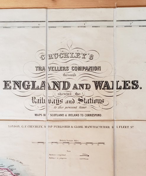
Cruchley's Travellers Companion through England and Wales shewing the Railways and Stations to the Present Time
Publisher: G F Cruchley, London;
Date of Publication: 1860
Stock Code: 5233
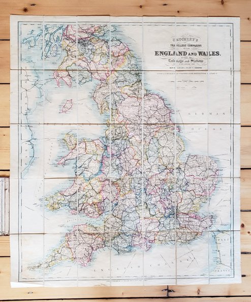
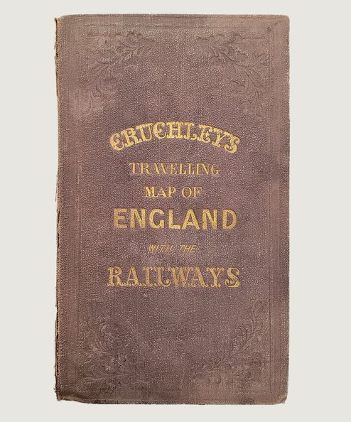
Undated circa 1860. Map 31”x27” folding to approx 7”x4”. Scale of 15 miles to an inch with St Andrews to the Northerly edge. Beautiful hand-coloured map of the English railway network in compartments mounted on linen, in decorative cloth covers with gilt titles to upper board and foliate decoration in blind to both boards. Advertisement to front pastedown and marbled paper to facing fold of map. Cover cloth sunned to spine with wear at corners and spine tips and closed tear to upper joint (repaired internally with archival tape). Light foxing & toning to linen but map remarkably clean and bright with only a little creasing to edges, unobtrusive small blue stain top edge and minor dark stain to lower margin. Overall condition very good.
Detailed map with counties outlined in different colours, completed railways shown and those in progress (marked by a broken line) and distances to London from major ports.
£100.00
Add to BasketContinue Shopping
Cruchley's Travellers Companion through England and Wales shewing the Railways and Stations to the Present Time
Date of Publication: 1860
Stock Code: 5233
Free postage to any UK address, and
free postage on overseas orders over £150.
Overseas orders below £150 –
Europe £7.95 / USA £14.95 / Rest Of World £11.95
Find out more about international shipping including heavy items & customs & taxes.
All items are guaranteed to be as described & are fully insured in transit. See our returns policy & find out about the bookselling terms we use.


