Walker, J[ohn] & C[harles].
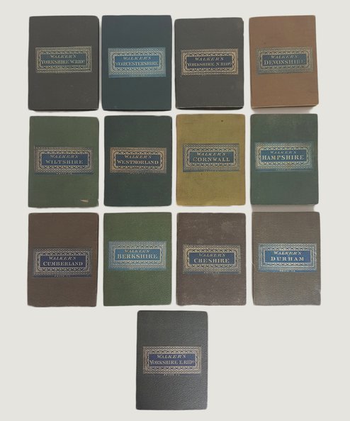
Walker's County Maps: Berkshire, Cheshire, Cornwall, Cumberland, Devonshire, Durham, Hampshire, Westmorland, Wiltshire, Worcestershire, Yorkshire East Riding, Yorkshire North Riding, Yorkshire West Riding [13 maps].
Publisher: Lomgman, Rees, Orme, Brown & Co, London;
Date of Publication: 1835
Stock Code: 5784
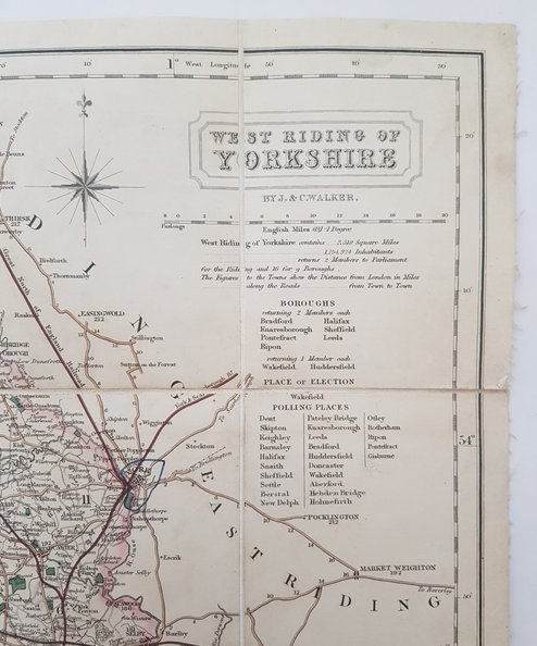
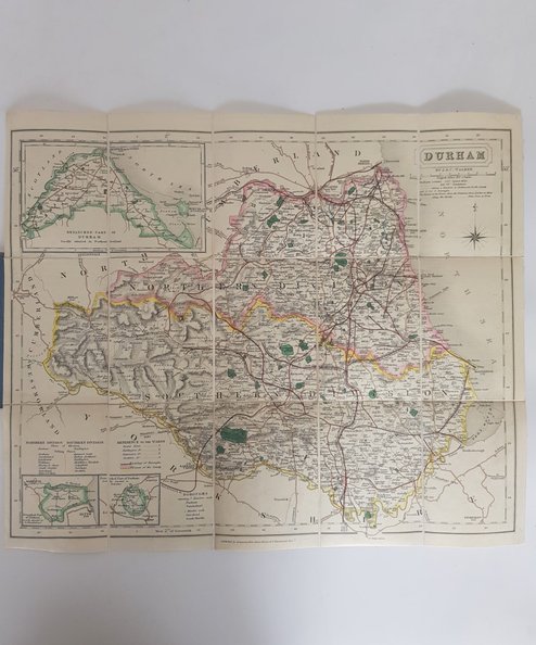
13 maps from the Walker’s County Maps series, variously dated between 1835 and 1845 (only Durham is undated). Each approximately 42 x 34 cm, dissected into 15 parts, mounted onto linen and folded into pebbled cloth covers (approx 12.5 x 9 cm) in shades of mainly green and brown. Decorative printed paper title labels to upper boards. Principal roads are marked in colour and county boundaries are hand coloured in outline. Useful information tables to inner front covers showing town populations, market days etc and distance tables. Covers only very lightly rubbed to edge; initials of former owner inscribed to linen verso of each. A little minor toning and foxing otherwise a remarkably clean set. Near Fine.
Each map is scarce, so it is unusual to find a run of Walker’s County Maps obviously having been together since they were printed, especially in such uniformly fine condition.
£650.00
Add to BasketContinue Shopping
Walker's County Maps: Berkshire, Cheshire, Cornwall, Cumberland, Devonshire, Durham, Hampshire, Westmorland, Wiltshire, Worcestershire, Yorkshire East Riding, Yorkshire North Riding, Yorkshire West Riding [13 maps].
Date of Publication: 1835
Stock Code: 5784
Free postage to any UK address, and
free postage on overseas orders over £150.
Overseas orders below £150 –
Europe £7.95 / USA £14.95 / Rest Of World £11.95
Find out more about international shipping including heavy items & customs & taxes.
All items are guaranteed to be as described & are fully insured in transit. See our returns policy & find out about the bookselling terms we use.


